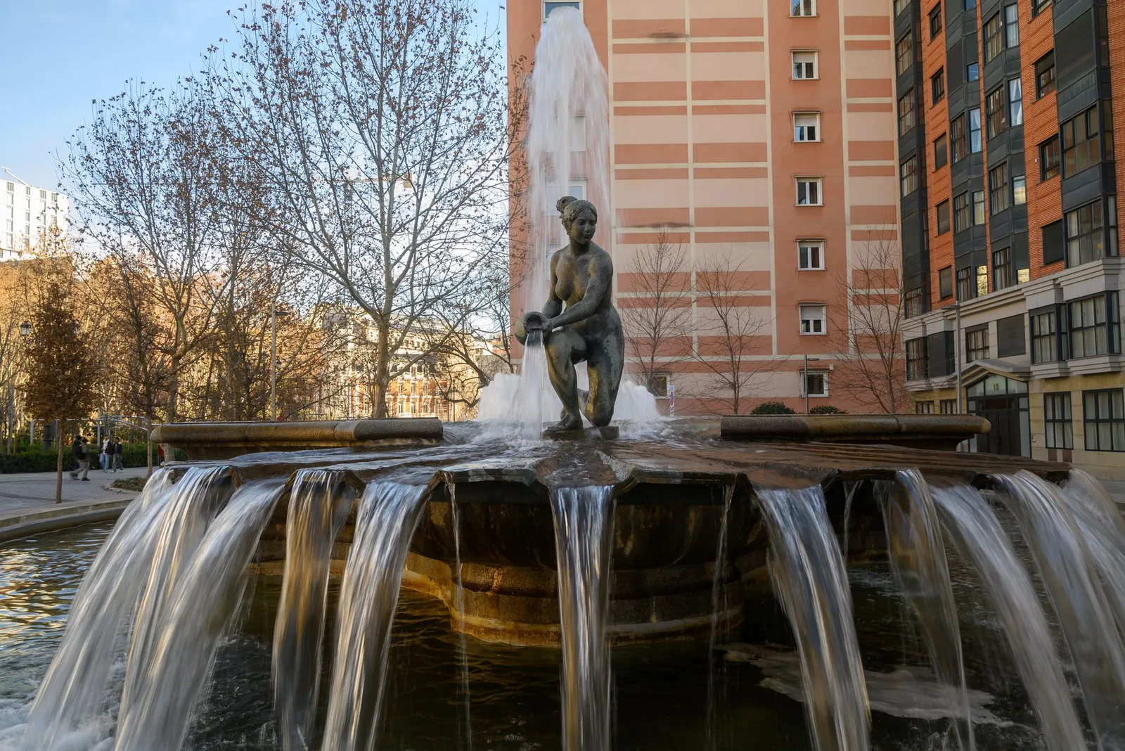
La Latina and Lavapiés sit just south of Plaza Mayor and offer a characterful, on-foot side of Madrid. La Latina is famous for its Sunday El Rastro flea market and tapas crawls, while neighbouring Lavapiés is diverse, creative and multicultural — ideal for tapas hunters and travellers who want atmosphere over polish.
La Latina & Lavapiés at a glance
- Distance to Plaza Mayor
- About 7.0 km as the crow flies — take public transport.
- From the city centre
- About 7.7 km as the crow flies.
- Nearest station
- Las Águilas (train station), about 310 m from the centre of the area.
- Source
- Distances computed from OpenStreetMap coordinates (© OpenStreetMap contributors), checked 2026-09-07. Straight-line figures — walking routes are longer.
La Latina's winding streets around Cava Baja are packed with traditional tapas bars, while Lavapiés brings international food, street art and an independent, bohemian energy. Days are best spent wandering the markets and terraces; Sunday around El Rastro is especially busy, and evenings buzz with sociable bar-hopping.
Getting around
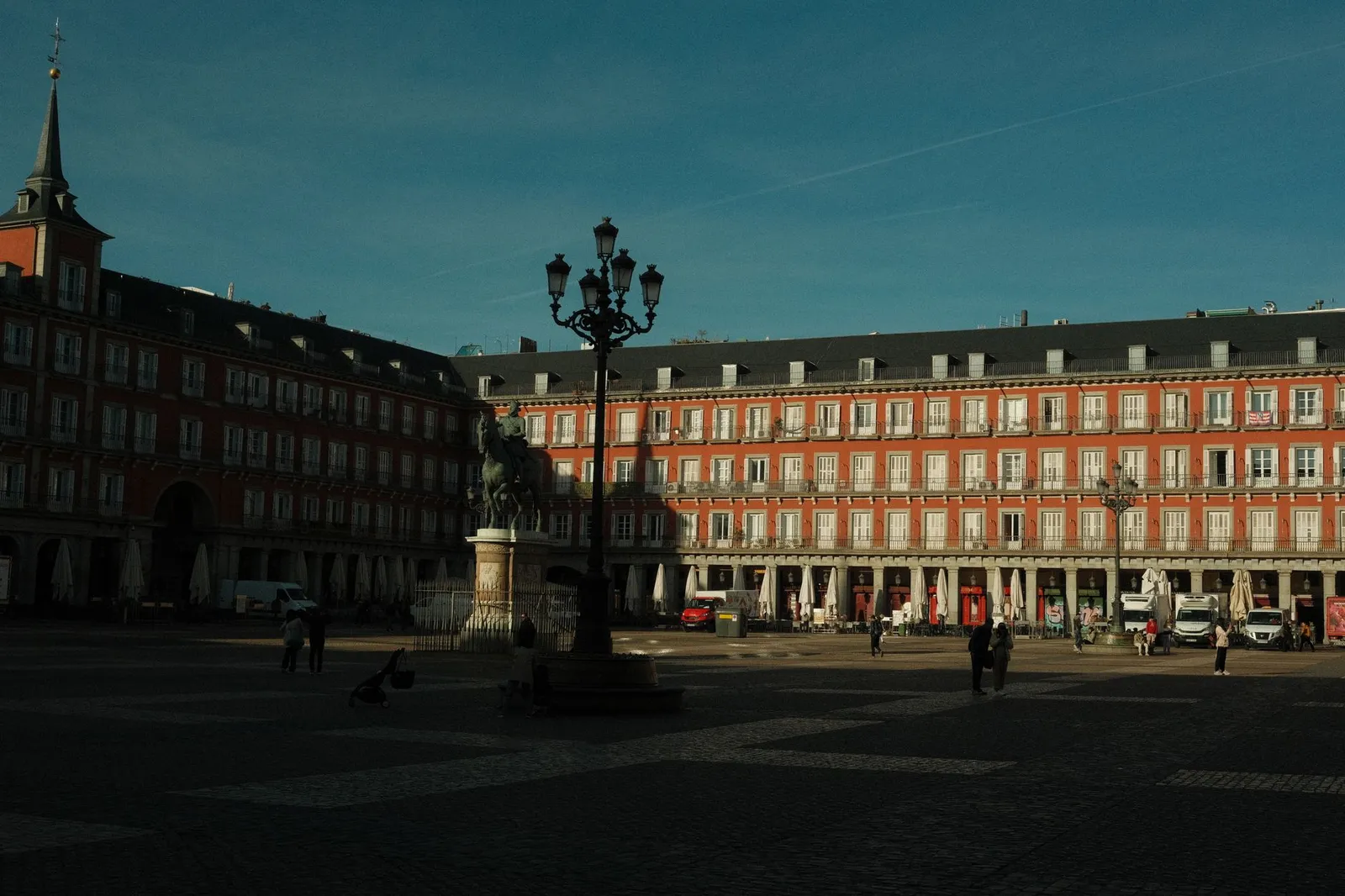
Plaza Mayor is a 5–10 minute walk north, and both areas have metro stations linking into the wider city; Barajas (MAD) is around 30–45 minutes via metro with a change or by airport bus.
Before you book this area
- Tapas
- La Latina's Cava Baja is one of Madrid's best-loved streets for a tapas crawl.
- Markets
- El Rastro flea market floods the area every Sunday morning.
- Vibe
- Bohemian, multicultural and lively, with older, atmospheric streets.
Frequently asked
Is La Latina & Lavapiés a good area to stay in Madrid?
It suits tapas hunters and travellers who want a bohemian, multicultural atmosphere over polish, with La Latina known for its Sunday El Rastro market and tapas crawls and Lavapiés for its diverse, creative energy. If you prefer quiet, polished surroundings, you may want to look elsewhere, as the streets are older, atmospheric and lively.
How far is La Latina & Lavapiés from Plaza Mayor?
Plaza Mayor is about 7.0 km away in a straight line, so it's not a walking distance — use public transport to get there.
How do I get around from La Latina & Lavapiés, and what's the nearest station?
The nearest rail stop is Las Águilas train station, roughly 310 m from the centre of the area. Both La Latina and Lavapiés also have metro stations linking into the wider city, and Barajas airport is around 30–45 minutes via metro with a change or by airport bus.
Is La Latina & Lavapiés central?
It sits about 7.7 km from the city centre in a straight line, so plan on using public transport to reach the middle of Madrid.
What is La Latina & Lavapiés like at night?
Evenings buzz with sociable bar-hopping, with Cava Baja in La Latina one of Madrid's best-loved streets for a tapas crawl. It's a lively, atmospheric area rather than a quiet one.
Comparing areas? See the full Madrid area guide →
Other areas near La Latina & Lavapiés
Sources
- OpenStreetMap — area location, distances and nearest station (© OpenStreetMap contributors, ODbL), checked 2026-09-07
- ReasonStay methodology — how areas are chosen and facts are verified
An independent guide to La Latina & Lavapiés, Madrid — honest orientation, no invented data.