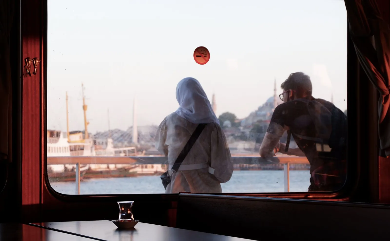
Beşiktaş and Ortaköy stretch along the European shore of the Bosphorus, north of the historic centre. This lively, local district mixes a busy market, seafront promenades, waterside cafés and views of the Bosphorus Bridge, suiting travellers who want a stylish, water-facing base with a genuine city feel.
Beşiktaş & Ortaköy at a glance
- Distance to Hagia Sophia
- About 5.5 km as the crow flies — take public transport.
- From the city centre
- About 5.4 km as the crow flies.
- Nearest station
- Yıldız (metro), about 910 m from the centre of the area.
- Source
- Distances computed from OpenStreetMap coordinates (© OpenStreetMap contributors), checked 2026-09-06. Straight-line figures — walking routes are longer.
Beşiktaş has a bustling market and ferry terminal, while Ortaköy is a smaller waterfront square beneath the bridge, famed for its mosque and street snacks. The area feels energetic and local by day and stays sociable in the evenings along the shore, though it sits away from the main monuments.
Getting around
Frequent ferries and buses link Beşiktaş to Eminönü, Kadıköy and beyond, and the old city with Hagia Sophia is reachable by ferry or bus in roughly half an hour; Istanbul Airport (IST) is a taxi or bus-and-metro transfer away.
Before you book this area
- Vibe
- Local, lively and waterfront-oriented, popular with residents and students.
- Green space
- Bosphorus promenades and nearby Yıldız Park offer plenty of open air.
- Watch out for
- It's a bit removed from the old-city sights, so budget for ferry or bus trips.
Frequently asked
Is Beşiktaş & Ortaköy a good area to stay in Istanbul?
It suits travellers who want a stylish, water-facing base along the Bosphorus with a genuine, local city feel, energetic by day and sociable along the shore in the evenings. It sits away from the main monuments, so it's less ideal for those who want to walk to the old-city sights.
How far is Beşiktaş & Ortaköy from Hagia Sophia?
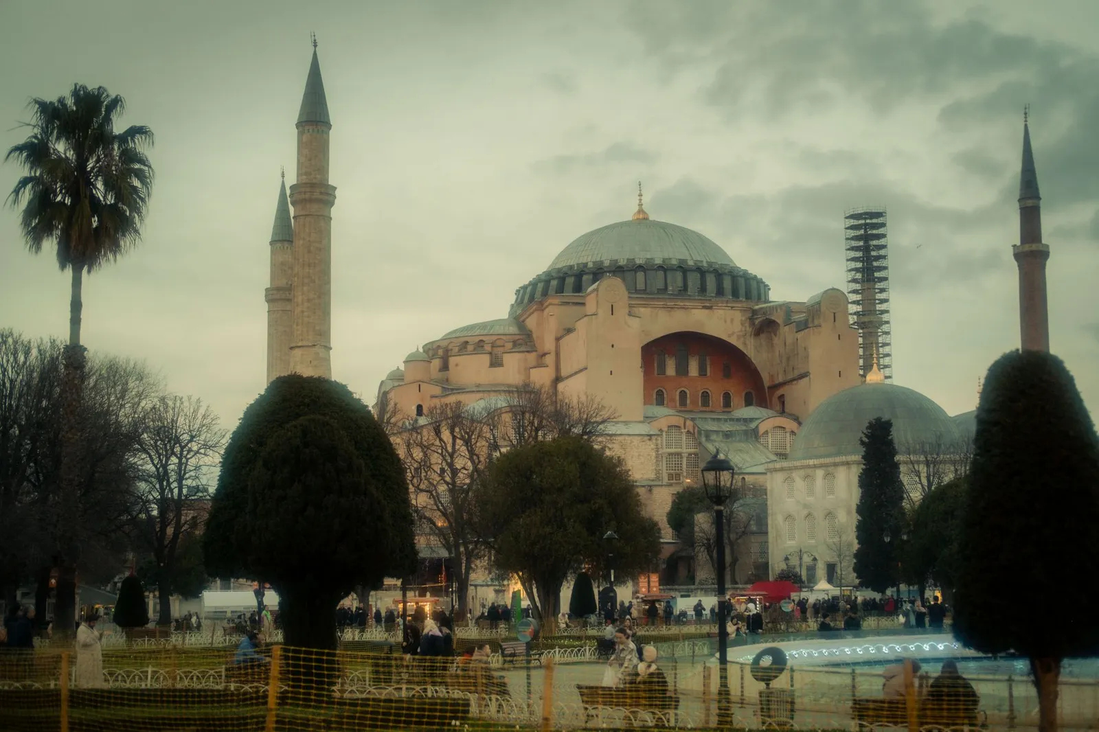
Hagia Sophia is about 5.5 km away in a straight line, so it's not a walking distance — use public transport. By ferry or bus the historic peninsula is reachable in roughly half an hour.
How do you get around Beşiktaş & Ortaköy, and what's the nearest station?
The nearest rail stop is Yıldız (metro), about 910 m from the centre of the area. Frequent ferries and buses also link Beşiktaş to Eminönü, Kadıköy and beyond.
Is Beşiktaş & Ortaköy central?
Not quite — it lies north of the historic centre, roughly 5.4 km from the city centre in a straight line. Budget for ferry or bus trips to reach the old-city sights.
Is Ortaköy touristy?
Its waterfront square is popular with visitors and locals for the view and street food, but the surrounding district stays largely residential.
Comparing areas? See the full Istanbul area guide →
Other areas near Beşiktaş & Ortaköy
Sources
- OpenStreetMap — area location, distances and nearest station (© OpenStreetMap contributors, ODbL), checked 2026-09-06
- ReasonStay methodology — how areas are chosen and facts are verified
An independent guide to Beşiktaş & Ortaköy, Istanbul — honest orientation, no invented data.