The Brighton Station area surrounds the city's mainline station and is built for convenience, ideal for quick arrivals and onward travel. It suits short trips and anyone prioritising practicality, with the North Laine and city centre a short walk downhill and the seafront a little further on.
The station sits at the top of the town, with Queens Road and Trafalgar Street leading down toward North Laine and The Lanes. The immediate area is more functional than scenic — a mix of transport links, shops and eateries — but you're only minutes on foot from the more atmospheric parts of the city.
Getting around
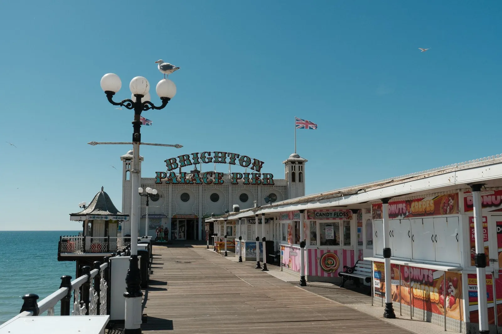
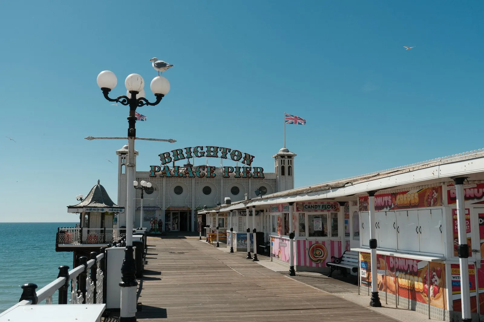
You're at the transport hub, so trains to London Gatwick (LGW) run direct in about 30 minutes, and it's a roughly 15-minute walk downhill to Brighton Palace Pier and the seafront.
Before you book this area
- Convenience
- Unbeatable for early trains, luggage and onward travel, being right at the mainline station.
- Vibe
- Practical rather than picturesque — a base for coming and going more than lingering.
- Watch out for
- The area right by the station is busy with traffic and less charming than the streets just downhill.
Frequently asked
Is the station area a good place to actually stay?
It's best if convenience matters most — you're minutes from trains and a short walk from the livelier North Laine and centre, though the immediate surroundings are workaday.
How long to walk to the beach?
About 15 minutes downhill through the centre to reach the seafront and Brighton Palace Pier.
Comparing areas? See the full Brighton area guide →
Other areas near Brighton Station area
Sources
- OpenStreetMap — neighbourhood boundaries and orientation (© OpenStreetMap contributors, ODbL)
- ReasonStay methodology — how areas are chosen and facts are verified
An independent guide to Brighton Station area, Brighton — honest orientation, no invented data.